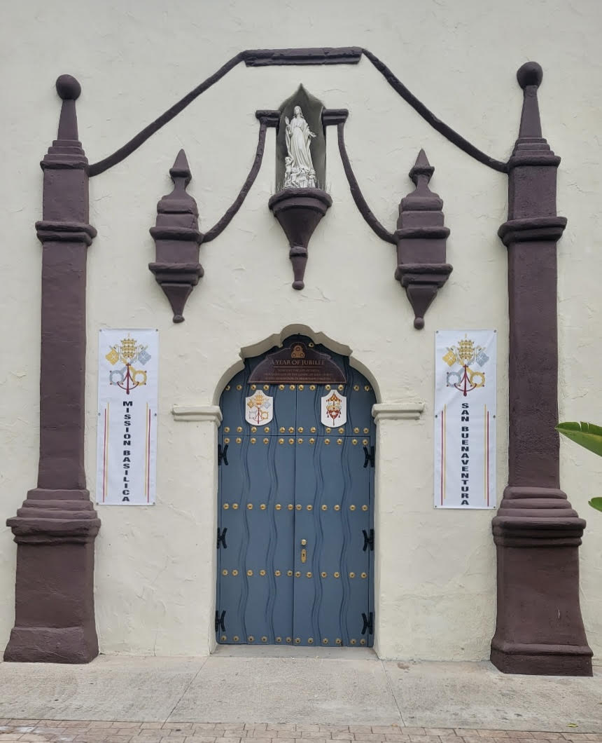
Is this a map? Photo by Patricia Schallert
by Richard Senate
The side door of the church that leads into the courtyard has an interesting design that looks Moorish but it is, said to be, a map of sorts, to show Native Converts how to find their way back to the Mission if they should travel away from the Mission San Buenaventura.
The line at the top represent the flat topped hill, where the cross stands today, the lines on each side of the statue of the virgin are the two rivers on each side of the Mission, the Ventura and the Santa Clara River.
The statue represents the mission community. The simple map was to show how to get back to the Mission when they travel away. Yes, Native Converts were given vacation time and could leave for extended visits at other villages. This was done so they could encourage new converts to join. It also spread such things as corn cultivation and European ideas. Sadly, it also spread accidently the European diseases that took many lives among those who refused to accept the new religion and new life style.
