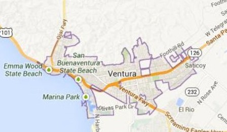
How would you divide Ventura into districts?
The City of Ventura encourages residents to participate in the district based elections map process with easy to use tools now available on the City’s website at www.cityofventura.ca.gov/districtelections. Citizens can create their own maps by using the one-page map (available in English or Spanish), an online Excel file to map population units by district, or by using the interactive on-line drawing tool. The deadline to submit all draft maps is November 17, 2017. All draft maps meeting the rules set by the Federal Voting Rights Act and the California Voting Rights Act will be considered by the City’s demographer, National Demographics Corporation, and the Ventura City Council.
Community members can pick-up printed maps in the City Clerk’s Office at City Hall, Room #204, 501 Poli Street, use their own map, sketch one on a piece of paper, or provide written comments/descriptions for the districts.
Draft maps can be submitted to National Demographics Corporation via fax to (818) 254-1221, email to [email protected], or mail to P.O. Box 5271, Glendale, CA, 91221. All draft maps meeting the requirements will be considered by the City Council and published on the City’s website one week before the meeting at which they will be discussed.
The Ventura City Council is slated to adopt an ordinance establishing the district boundaries by January 14, 2018, and will be effective for the 2018 Election. Residents are encouraged to attend the upcoming Public Hearings on district based elections December 4, and December 11, 2017, at City Hall. A certified interpreter will be on hand for the public hearings.
For a complete list of key dates, administrative reports and frequently asked questions, visit www.cityofventura.ca.gov/districtelections. The City will be working to keep this webpage up-to-date as we progress through discussions on districts.
