Take action during National Preparedness Month to get ready for emergencies
The American Red Cross of Central California is encouraging everyone to take critical actions during National Preparedness Month this September to be ready for worsening disasters. Deadly storms and floods, raging fires and extreme heat are becoming more frequent and intense due to the climate crisis and families are experiencing the effects.
“Disasters can happen at any time, often without warning, changing lives forever in just minutes,” said Tony Briggs, executive director of the Pacific Coast Chapter. “As our climate changes, it’s critical to help protect your loved ones and National Preparedness Month is the ideal time to get your household ready for emergencies.”
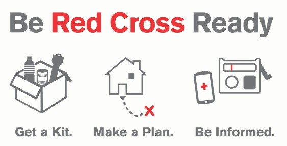
HOW TO PREPARE: Get ready for disasters by making a plan to stay safe, gathering important supplies and knowing how you’ll stay connected. Follow these steps to prepare for emergencies:
- Depending on the emergency, you may need to stay where you are or go somewhere else to stay safe. If you may need to leave, think about where you will go, how you will get there, where you will stay and what you’ll take with you. Plan well in advance if you’ll need help leaving or use public transportation.
- Next, gather and organize critical supplies — like food, water and medicine — into a go-kit and a stay-at-home kit. Your go-kit should include three days of supplies that you can take with you. Your stay-at-home kit should have two weeks of food and water, and a one-month supply of medications, if possible.
- Customize your kit to meet your household’s specific needs. If you have young children, don’t forget formula and diapers. If you have pets, include leashes, carriers, food, bowls, litter and a litterbox.
- Make a plan to reconnect with loved ones if you are separated or if the phone or internet is down. Write down important phone numbers on a contact card and carry it with you.
- Finally, download the free Red Cross Emergency app for real-time weather alerts and expert advice in both English and Spanish. And don’t forget to sign up for free emergency alerts from your local government to get critical information during local emergencies.
CLIMATE CRISIS EFFECTS: This year, experts forecasted active wildfires and hurricanes — predictions that are proving to be true. In July, Hurricane Beryl broke records as the earliest Category 5 storm ever recorded and in early August, Hurricane Debby brought widespread flooding to much of the East Coast. So far in 2024, 2.7 million more acres of land have been burned by wildfires compared to all of 2023. Plus, 2024 is on track to be the hottest year on record according to experts. Halfway through the 2024 hurricane and wildfire season, the U.S has experienced 19 climate disasters, each with losses of over a billion dollars — more than double the average from the last 40 years.
When these disasters happen, the Red Cross is there providing food, shelter and comfort to ensure no one faces such a difficult time alone. To help families better cope with this worsening climate crisis, the Red Cross is also enhancing our support for those who need it most and increasing our capacity to respond to non-stop disasters.
“The best defense during an emergency is to be prepared, and that’s true for both our individual families and our entire community,” said Briggs. “During National Preparedness Month, consider donating to help people affected by disasters big and small, or making an appointment to give blood. If you have the time, take a first aid class or put on a red vest and join us as a volunteer.”
Visit redcross.org/prepare or download the Red Cross Emergency App to learn more today.
 EPA Launches Updated AirNow Fire and Smoke Map with Enhanced Features
The U.S. Environmental Protection Agency (EPA) has released an updated version of its AirNow Fire and Smoke map, now available at https://fire.airnow.gov/. This new version is designed to load faster and offers enhanced features, including data on coarse particle pollution and ozone levels. It also provides detailed information on individual wildfires and guidance on how to protect yourself from smoke exposure.
Users can access the map directly through the AirNow website or by selecting the smoke icon in the lower-right corner of the AirNow smartphone app. For Spanish-language users or those requiring an adjusted AQI color scale due to color vision challenges, the settings icon in the top-right corner of the map allows for customization.
This update ensures easier access to vital air quality information, helping people stay informed and safe during wildfire events.
